Hello
We help organizations understand and improve transportation networks, digitally.
Our systems support thousands of public transit agencies, intercity bus and rail operators, and shuttle systems across the world.
Our datasets power applications across the planning, real-estate, healthcare, and insurance sectors, as well as academic research.

Transitland
Transitland is an open-data platform built on thousands of public-transit data feeds from around the world. Transitland is the largest and most feature-rich aggregator of GTFS, GTFS Realtime, and GBFS data.
Developers use Transitland APIs to power their own apps, maps, visualizations, and analyses.
Data scientists use Transitland's bulk datasets to enrich their analyses.

Interline Routing Platform
The Interline Routing Platform combines Valhalla, a global auto/bike/pedestrian routing engine, with the Transitland Routing API that's purpose-built to calculate the best journeys by bus, train, and subway.
Plan a trip from Point A to Point B. Or enrich your "big data" analysis with millions of trips.

OSM Extracts by Interline
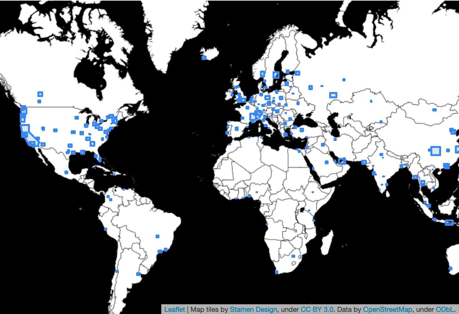
OSM Extracts are city- and region-sized datasets sliced from OpenStreetMap.
We generate these extracts on a daily basis and offer them for free download in a variety of formats for GIS analysis and cartography.
Learn more about one of our favorite formats: GeoJSONL.
Expert consulting services are offered to organizations to integrate Interline's transit data and routing platforms into their own systems.
We are a team skilled in product management, software engineering, and system operations for modern web and mobile applications. We have deep experience in public transit, transportation planning, travel behavior, and emerging mobility options. In addition to our primary focus on software platforms and tooling, we carry out targeted applied research projects.
